Story Map · 2024–2026

The Water Balance of Northern Kazakhstan

How a whiteboard sketch grew into field stations, international collaboration and this open geoportal.

National Laboratory Astana · Nazarbayev University
Scroll to begin

Why water balance?

In the semi-arid steppe of Kazakhstan every millimetre of water counts. The project set out to quantify how much water the northern water management basins receive, lose to evaporation and runoff, store and use — and how this has changed over the last 20 years.

It focuses on five water management basins — Zhaiyk-Caspian, Yesil, Tobyl-Torgai, Nura-Sarysu and Ertis — which together cover 69 % of Kazakhstan’s territory, and combines remote sensing, global datasets and national hydrological information.

5water management basins
69 %of Kazakhstan’s territory
20+years of water balance data
2024–26project period
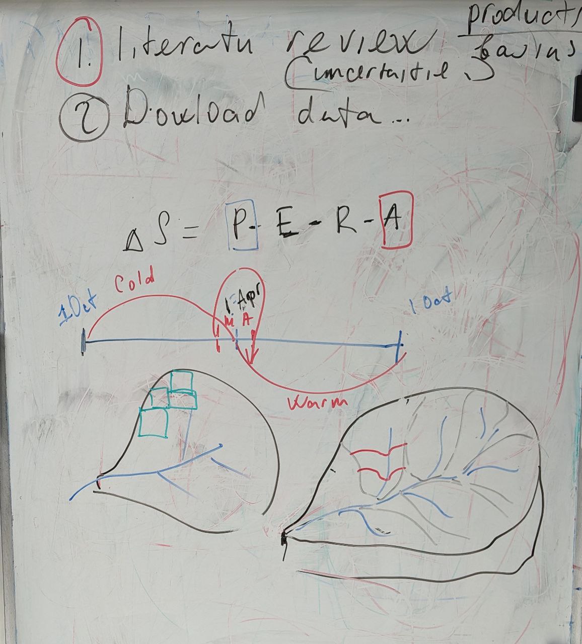
Brainstorming the project: work plan, the water balance equation and the hydrological year
Chapter 1 · The idea

It started on a whiteboard

The project began as a brainstorming session. The first plan fitted in two lines: (1) review the literature on the available products, the basins and their uncertainties; (2) download the data.

One equation

ΔS = P − E − R − A

Change in water storage equals precipitation minus evapotranspiration, runoff and water abstraction. Each term became a work package — and later a section of this portal.

The hydrological year

The board also fixed the time frame: a water year from 1 October to 30 September, a cold season of snow accumulation and a warm season that starts with snowmelt around April. The sketched basins — split into satellite grid cells and into sub-basins with their river network — show how remote sensing and hydrology were to be combined.
Project team and contributors
Chapter 2 · The team

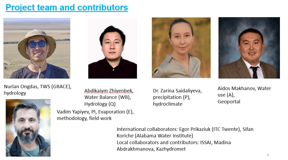
The people behind the numbers

Vadim Yapiyev — principal investigator · evaporation (E), methodology, field work
Nurlan Ongdas — terrestrial water storage (GRACE), hydrology
Abdikaiym Zhiyenbek — water balance, hydrology (runoff Q)
Dr. Zarina Saidaliyeva — precipitation (P), hydroclimate
Aidos Makhanov — water use (A), geoportal

Partners

International collaborators: Egor Prikaziuk (ITC, University of Twente) and Sifan Koriche (Alabama Water Institute). Local collaborators and contributors: ISSAI, Madina Abdrakhmanova and Kazhydromet.

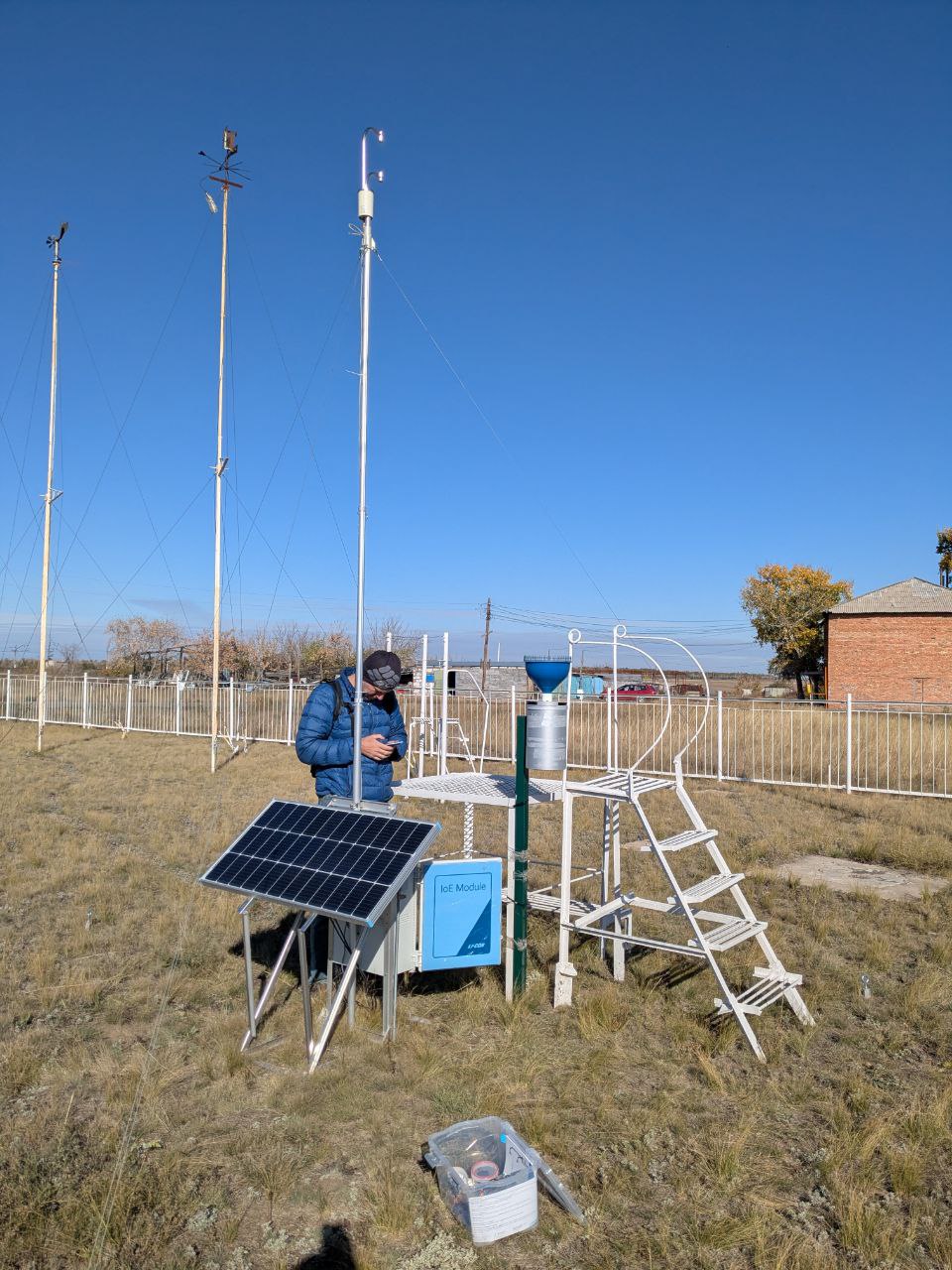
Evapotranspiration station beside a weather station
Field work in the steppe
The station with its LI-COR logger
Steppe landscape
Chapter 3 · Field work

Ground truth for satellites

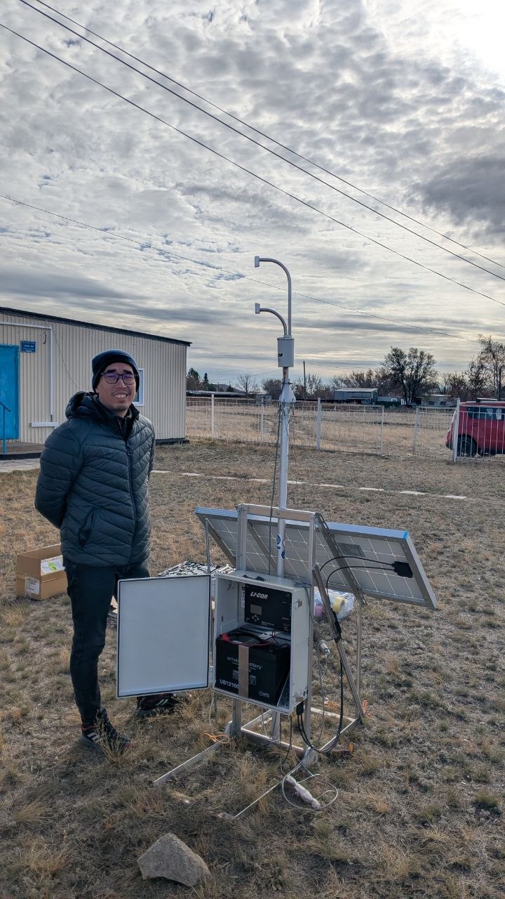
Satellite products estimate evapotranspiration for whole basins, but they need checking on the ground. The team installed a solar-powered evapotranspiration station with a LI-COR IoE module next to an existing weather station.

Into the steppe

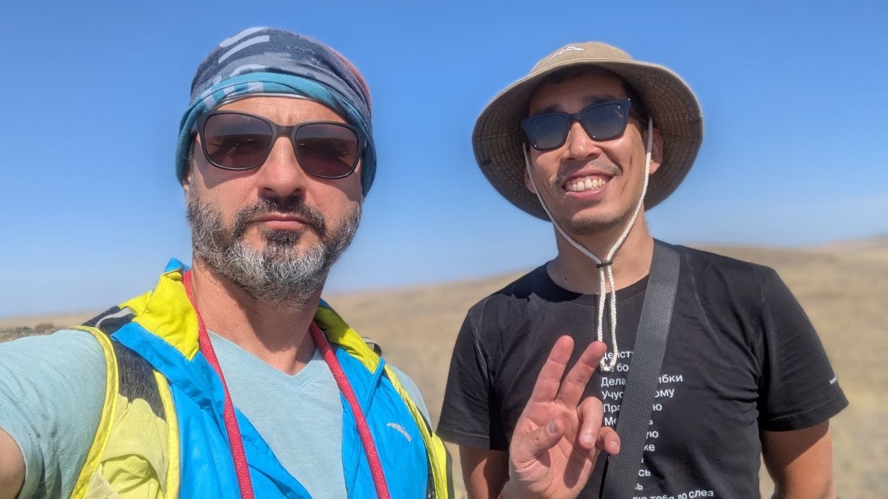
Field campaigns took the team — here Vadim Yapiyev and Nurlan Ongdas — deep into the steppe to choose sites and set up instruments.

Station running

Once powered, the LI-COR logger records evapotranspiration and weather continuously, giving a ground reference for the satellite estimates.

The landscape we measure

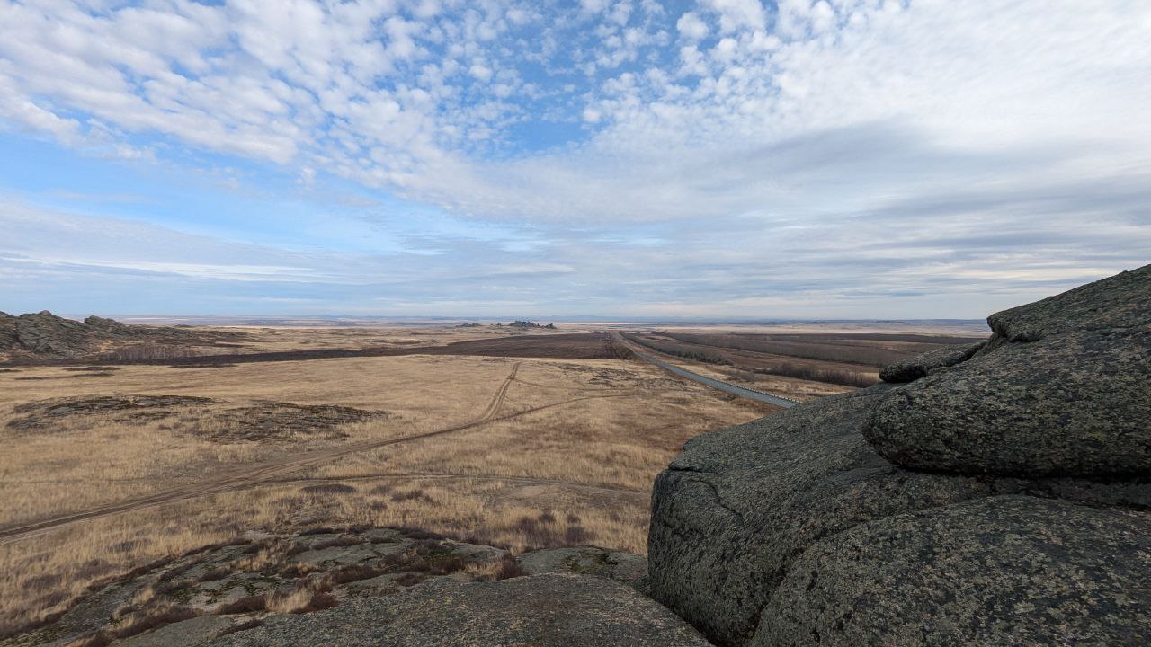
Granite outcrops and dry grassland stretching to the horizon — the landscape whose water balance the project describes.

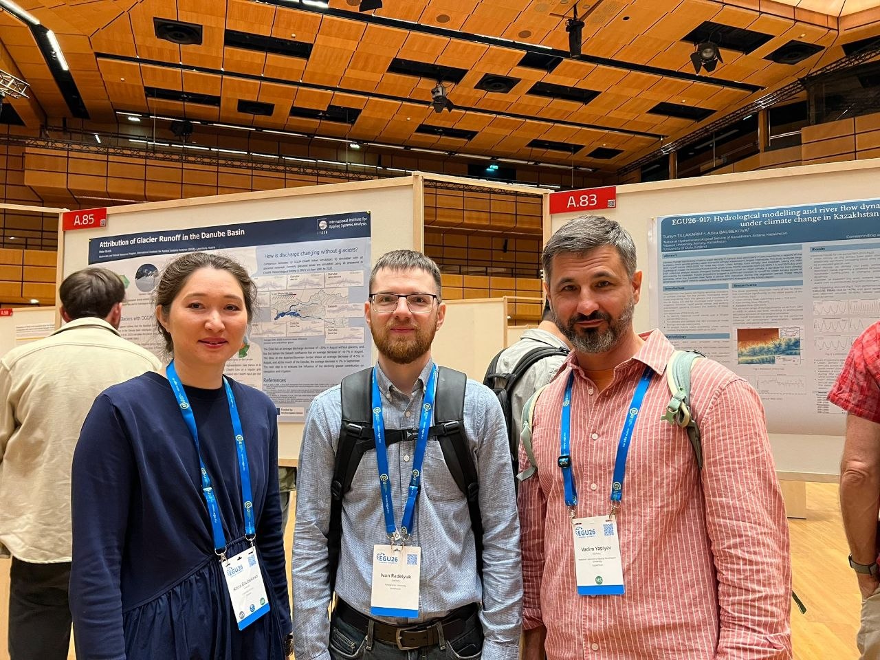
Meeting with international partners
At the EGU General Assembly 2026 poster session
Chapter 4 · Conferences

Working with partners

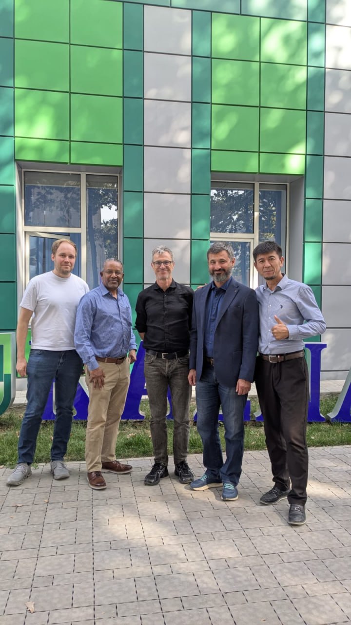
The project team met international partners and colleagues to discuss the work.

EGU General Assembly 2026

The team took part in the EGU General Assembly 2026 in Vienna, exchanging ideas with the international hydrology community.

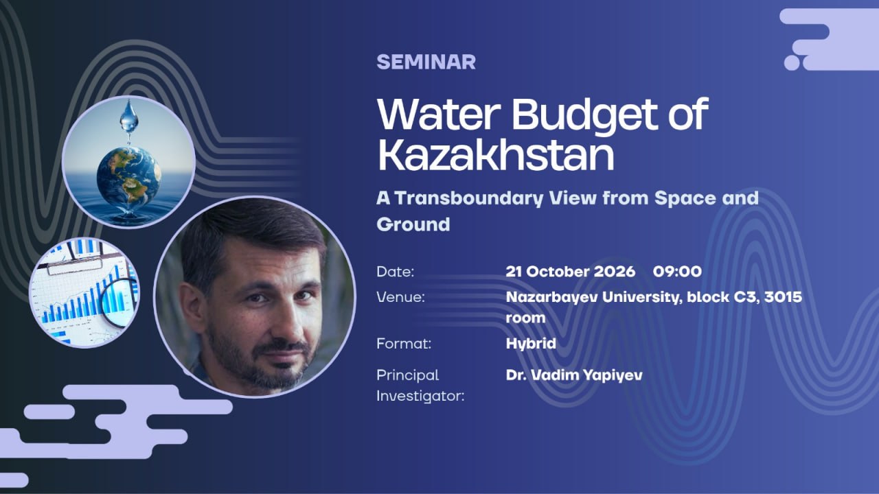
Seminar announcement
Chapter 5 · Our seminar

Water Budget of Kazakhstan

In October 2026 the team hosted its own seminar, “Water Budget of Kazakhstan: A Transboundary View from Space and Ground”, led by principal investigator Dr. Vadim Yapiyev.

  • 21 October 2026, 09:00
  • Nazarbayev University, block C3, room 3015
  • Hybrid format
Chapter 6

The geoportal

Everything the project produced is open in this portal. Scroll through its main sections on the map.

Chapter 6 · The geoportal

14 watersheds, two hydrological regions

The portal’s spatial backbone is a consistent set of 14 watershed boundaries grouped into a Northern and a Southern hydrological region, also published as an open dataset on Zenodo.

Chapter 6 · Data Catalogue

Everything downloadable

Watersheds, water management basins, sub-basins, hydrological regions, the GIRES v10 river network and lakes, ESA WorldCover land cover and all time series — as GeoJSON, GeoPackage, Shapefile, GeoTIFF, JSON, CSV and Excel.

Open the Data Catalogue →
Chapter 6 · LULC Map

Land use and land cover

An interactive ArcGIS map of ESA WorldCover land cover at 100 m with basin boundaries shows where cropland, grassland, forest and water lie in each basin.

Open the LULC Map →
Chapter 6 · Timeseries

The water balance, month by month

The Timeseries dashboard maps precipitation, soil moisture and water balance for every basin. Its Water Balance Products mode compares 27 combinations of precipitation, evapotranspiration and runoff products with GRACE satellite storage for all 14 basins (October 2002 – November 2022).

Open Timeseries →
Chapter 6 · Water Use

Who uses the water?

The Water Use & Abstraction dashboard turns basin statistics for 2004–2023 into maps and charts of withdrawal, use, discharge and losses by sector for the five water management basins. In 2023 they withdrew about 8.8 km³ of water, nearly two thirds of it for industry.

Open the Water Use dashboard →

Publications & data

Dataset The watershed boundaries of large river and water management basins of Kazakhstan Yapiyev V., Ongdas N., Saidaliyeva Z., Zhiyenbek A.
Zenodo  ·  2025  ·  CC BY 4.0
Article Baseline information and regionalization of the large river basins of Kazakhstan Yapiyev V., Ongdas N., Saidaliyeva Z., Zhiyenbek A., Smogulova T., Baigaliyeva M., Prikaziuk E.
Frontiers in Water  ·  2025
Article Analysing Seasonal Hydroclimatic Variability to Support Managed Aquifer Recharge Planning in Kazakhstan Ongdas N., Sallwey J., Yapiyev V., Mukanov Y., Stefan C.
Earth Systems and Environment  ·  2026
Opinion Paper The paradoxes of adaptation to climate change in Central Asia Yapiyev V., Saidaliyeva Z., Ongdas N.
Central Asian Journal of Water Research  ·  2026

Explore the portal

All data and tools from this story are open. Start with the catalogue or go straight to the dashboards.

Data Catalogue Timeseries Water Use Project page ↗
Photos: project team. The project is funded by the Ministry of Science and Higher Education of the Republic of Kazakhstan.